Los Angeles mapbook
A public mapbook for Los Angeles transit-area policy geography, implementation areas, and incentive overlaps.
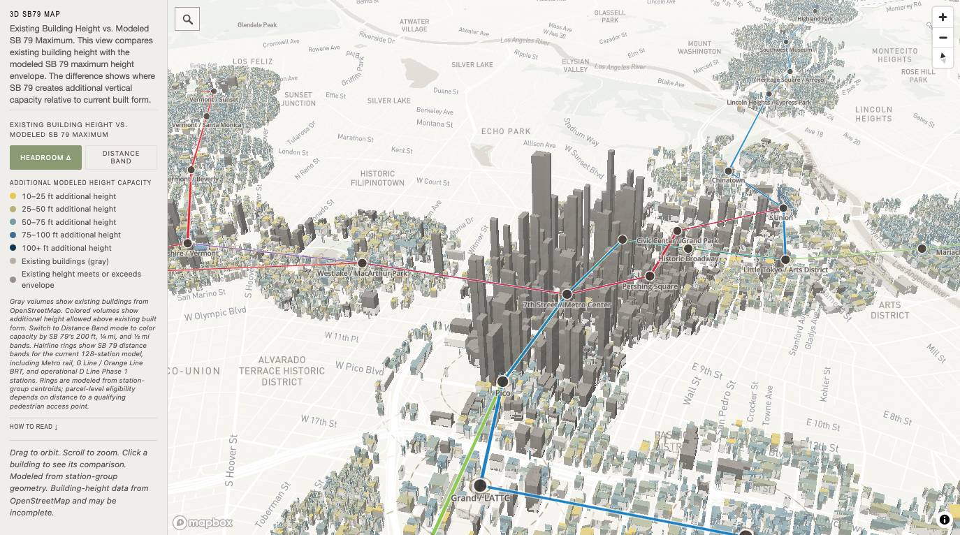
Homes and volume range
State–City Capacity
Parcel-level comparison of local and SB 79 homes, residential floor area, and recorded-footprint-to-full-parcel State-height volume ranges.
- Source snapshot
- Los Angeles City Planning Exhibit 4, Table 1C · 2026-05-05
- Model version
- sb79-state-city-capacity-baseline fcff143c · model cataloged 2026-11-02
- Policy status
- May 2026 City Planning baseline
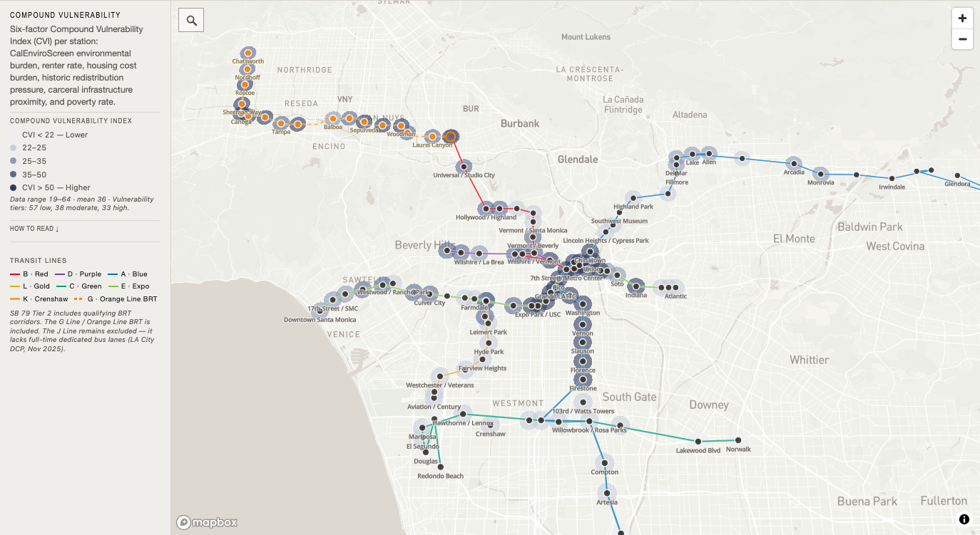
Exposure index
Compound Vulnerability
Six-factor Compound Vulnerability Index across station geographies.
- Source snapshot
- Project analytical source set · 2026-06-30
- Model version
- compound-vulnerability-index fcff143c · model cataloged 2026-11-02
- Policy status
- Research model